In September 2025, the Bureau of Land Management finished Idaho’s newest geothermal lease sale. Developers paid $4.44 million for nine parcels of land across Elmore, Washington, and Bonneville counties. Together, these parcels cover more than 24,000 acres. That’s a huge amount of ground that may soon host drilling rigs, utility lines, and new roads. But before any of that can happen, one step is required. Each parcel will need an ALTA Land Title Survey. This survey is the key to proving where the land begins, where it ends, and what rights or restrictions are attached. Without it, lenders, insurers, and agencies will not move a project forward.
Why This Sale Is a Big Deal
Idaho has leased geothermal parcels before, but this sale feels different. The state is working hard to become a leader in renewable power. Developers who won these parcels are eager to start.
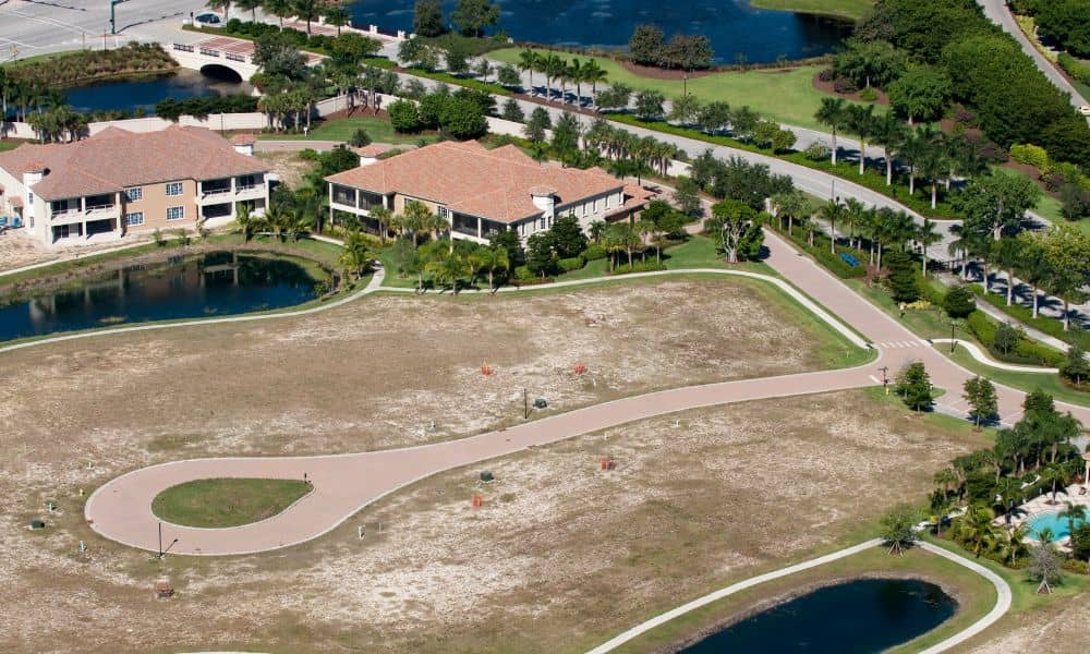
Still, the land they leased is not simple. Some parcels overlap with old rights-of-way, protected areas, or private property. Every line and easement must be checked. That is where the ALTA Land Title Survey comes in. It provides the detail needed to clear questions before construction begins.
What an ALTA Land Title Survey Does
An ALTA survey does more than mark property corners. It matches the legal description of the land to what is actually on the ground. It also shows:
- Boundaries – proving that the legal parcel and the land lines are the same.
- Easements – identifying paths for roads, power lines, or pipelines.
- Improvements – locating fences, buildings, or other features that affect use.
Lenders and insurers will not finalize deals without this level of detail. For developers, the survey is the first real “green light” for their projects.
Surveying Challenges in Idaho
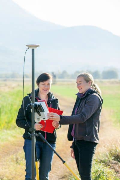
Idaho’s geothermal areas are not flat city lots. They include rugged terrain, forests, and remote valleys. Getting survey crews to these areas takes planning and time.
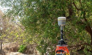
Wildfire smoke is another problem. When smoke drifts in from nearby fires, drones and aircraft cannot fly. That delays aerial surveys. Licensed land surveyors use a mix of tools—drones, GPS, and old-fashioned fieldwork—to keep projects moving despite these hurdles.
How ALTA Leads to Other Surveys
The ALTA survey is just the start. Once boundaries and easements are clear, other surveys follow:
- Construction staking surveys guide contractors when placing wells, roads, or power lines.
- Topographic surveys give the elevations needed for drainage and grading.
- Flood elevation surveys check risks in river valleys and may result in FEMA Elevation Certificates.
Think of the ALTA survey as the foundation. Every other survey builds on it.
Why Timing Is Critical
Ordering an ALTA survey early can save developers weeks or even months. Waiting until after permits or financing can expose hidden problems. For example, if a road is planned across an easement that no one mapped, the design may need to be changed. That means delays and extra cost.
Lenders and title companies also require a current ALTA survey before closing. Developers who wait too long will find themselves stuck until the survey is finished. Acting early is always smarter.
What This Means for Local Counties
Each county involved in the lease sale has its own challenges:
- Elmore County – rolling land where property boundaries can blur with neighboring ranches.
- Washington County – farmland mixed with utility corridors, making easement checks important.
- Bonneville County – close to the Snake River, which means flood risk must be considered.
These local details make it even more important to work with licensed surveyors who know Idaho’s land.
The Bigger Picture
This lease sale is not just about nine parcels. It signals a larger move toward clean energy in Idaho. Every new geothermal project will need careful surveys, starting with the ALTA Land Title Survey.
Surveyors are not only marking land. They are helping build the future of renewable energy in the state. Developers who understand this will move faster, spend less, and avoid major problems.
Conclusion
Idaho’s geothermal lease sale is a huge step toward clean energy. Yet none of the winning bidders can start work without an ALTA Land Title Survey. This survey confirms the boundaries, maps the easements, and gives lenders and insurers the confidence to proceed.
The lesson is simple: order an ALTA Land Title Survey as soon as the lease is secured. For surveyors, this is a chance to guide the state into its energy future. For Idaho, it is proof that every clean energy project begins with accurate land surveying.

