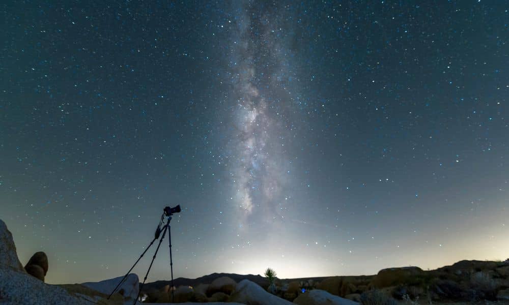
Last week, Idaho’s skies erupted in color. The Northern Lights shimmered above Eagle and Boise, painting streaks of pink and green across the night. Phones came out fast; social feeds filled even faster. It was one of those rare “did-you-see-it?” moments that had everyone talking. But while the show amazed skywatchers, it quietly challenged another group—land surveyors. During an aurora, the same solar energy lighting up the sky can shake the satellite signals surveyors depend on. And if your ALTA Land Title Survey happened to fall on one of those nights, accuracy could have taken an unexpected hit.
How the Northern Lights Throw Off GPS
Auroras aren’t just pretty colors. They’re the visible result of a geomagnetic storm—charged particles from the sun colliding with Earth’s atmosphere. Those particles disturb the planet’s magnetic field and the upper layers of air where GPS signals travel.
Survey-grade GPS, also called GNSS, measures positions to the centimeter. When the atmosphere ripples, those satellite signals bend or scatter, causing slight position errors. A drift of even an inch can matter when mapping a boundary, an easement, or a building corner on a certified survey.
For an ALTA Land Title Survey—used by lenders, title companies, and engineers—those few centimeters are critical. A shifted stake or mis-drawn easement line can delay closings or trigger re-checks. That’s why space weather isn’t just an astronomy topic; it’s a practical concern for anyone closing on land.
Why Buyers and Developers Should Care
In a fast-moving market, property deals run on tight deadlines. The ALTA Land Title Survey is what confirms the legal boundaries, recorded easements, and improvements on site. Lenders won’t finalize loans and title insurers won’t issue coverage without it.
If a geomagnetic storm strikes mid-survey, the crew might need extra time to verify control points or repeat measurements. A short delay now prevents bigger problems later. Imagine discovering during closing that a corner was off by a foot and an easement crosses your planned driveway—that’s the kind of headache everyone wants to avoid.
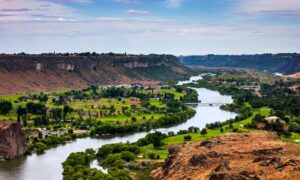
Here in the Treasure Valley, natural conditions already challenge accuracy. The Boise River corridor, tall trees, and reflective canal water create “multipath,” where signals bounce and confuse receivers. Add solar interference, and precision can slip further. Local surveyors have learned to watch both the weather and the sun.
How Professionals Keep Surveys on Track
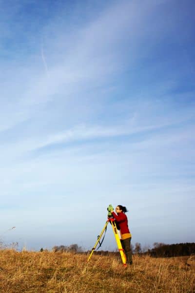
Licensed surveyors don’t leave accuracy to luck. Before heading out, they check the NOAA Space Weather Prediction Center forecast. It lists a Kp index, a number showing how strong geomagnetic activity is. Calm days read around 2 or 3; stormy aurora nights can jump to 6 or 7.
When that happens, seasoned crews adjust their workflow:
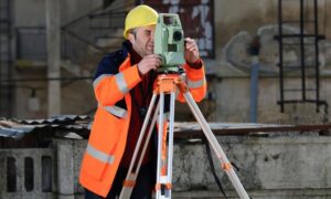
- They may switch from real-time GPS to total-station instruments that use line-of-sight instead of satellites.
- They collect longer “static” sessions on control points so software can smooth out the noise later.
- They might shift intensive GPS work to early morning or after sunset when the atmosphere is calmer.
- And if conditions are too unstable, they simply reschedule.
These steps protect the precision that an ALTA survey demands. It’s careful planning, not guesswork, that keeps the numbers right.
What You Can Ask as a Client
You don’t have to become a space-weather expert, but it’s smart to choose a surveyor who pays attention to it. When you order an ALTA Land Title Survey, ask simple questions like:
- “Do you monitor solar or GPS conditions during the project?”
- “How do you verify accuracy if a storm hits?”
A professional will explain their backup plan and quality checks. That transparency shows you’re dealing with someone who values accuracy as much as you do.
If you’re on a deadline, order early. Giving your surveyor a cushion lets them work around stormy days without risking your closing date. A little flexibility in October can save days of delay later.
Eagle’s Unique Challenges
Eagle and nearby communities sit in varied terrain—flat fields, wooded lots, and reflective waterways. Those features make GNSS work tricky even on clear nights. During geomagnetic storms, signal reflections and distortions grow stronger. Crews often double-check control points along the river and canals to ensure their data lines up perfectly with county records.
This quiet, behind-the-scenes checking rarely makes headlines, but it protects every legal boundary and keeps lenders, buyers, and engineers confident in the results.
The Human Side of Precision
While most Idahoans stared upward at the shimmering sky, surveyors were looking down—checking points, comparing readings, and confirming that the earth beneath their tripods hadn’t moved on paper. Their work might not trend online, but it’s what keeps titles clean, closings smooth, and projects safe to build.
That’s the hidden art of surveying: blending science, timing, and awareness of forces most people never think about. The ALTA Land Title Survey isn’t just another document in your closing packet; it’s a detailed promise that every inch of your property was measured and confirmed under the best possible conditions.
Final Thoughts:
As Idahoans share their aurora photos this October, remember the unseen connection between the lights above and the lines below. Solar storms may paint the sky, but they can also test the precision that modern surveying depends on.
When you hire a licensed surveyor, you’re not just getting someone with fancy equipment—you’re getting a professional who knows when to wait, when to measure, and how to deliver results that hold up in any light.
So enjoy the Northern Lights when they return, but when it’s time to define your land, trust a surveyor who keeps both eyes on the sky and both feet firmly on the ground.

