Welcome to ALTA Survey Idaho

Your Final Stop for Your ALTA Survey Needs!                              Contact us today for a free quote!

This site is intended to provide you with information on ALTA Surveying in Idaho. If you’re looking for a Idaho Land Surveyor, you’ve come to the right place. If you’d rather talk to someone about your land surveying needs, please call our toll-free number at (888) 808-9783 today. For more information, please continue to read.

ALTA Survey Idaho

Land Surveyors are professionals who make precise measurements to determine the size and boundaries of a piece of real estate.  While this is a simplistic definition, boundary surveying is one of the most common types of surveying related to home and land owners. If you fall into the following categories, please click on the appropriate link for more information on that subject:

ALTA Survey Idaho services:

    1. I need to know where my property corners or property lines are. (Boundary Survey)
    2. I have a loan closing or re-finance coming up on my commercial property. (ALTA Survey)
    3. I need a map of my property with contour lines to show elevation differences for my architect or engineer. (Topo Survey – ALTA Survey plus Table A Item 5.)
    4. I’ve just been told I’m in a flood zone or I’ve been told I need an elevation certificate in order to obtain flood insurance or prove I don’t need it. (Flood Survey)
    5. I’m purchasing a lot/property for a commercial use. (ALTA Survey – Item 5 and/or Item 11b may also need to be discussed.)
    6. I’m purchasing a larger tract of land, acreage, that hasn’t been subdivided in the past. (Boundary Survey)
author avatar
Surveyor

More Posts

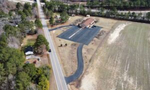
Aerial view of a commercial property with a building, parking area, access road, and open land when documenting ALTA survey utilities
alta survey
Surveyor

How an ALTA Survey Documents Utilities Across a Commercial Site

An owner planning a new wing, a larger parking lot or a drive-thru lane on an existing commercial property needs to know what runs under the pavement before design starts. An ALTA/NSPS Land Title Survey can answer part of that question. It records the utility evidence a survey crew can

Read More »
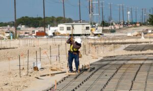
Surveyor checking construction staking on a graded site for road and building pad work
construction
Surveyor

Construction Staking From Road Grade to Building Pad

Construction staking on a new site happens in rounds. A surveyor usually stakes the road grade first, then returns for curbs, utilities, the building pad and the footings. Every round builds on the elevations from the round before it. When the road and the pad don’t agree, the mistake often

Read More »
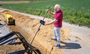
Surveyor performing a construction survey beside a utility trench while checking site measurements before excavation
construction
Surveyor

Construction Survey Checks Before Utility Trenching Begins

Opening a trench too soon can cost a project more than time. Shifted lines, wrong grades, and clashes with old utility lines often show up once the equipment is already in the ground. By then they cost more to fix. In Boise, new development often sits close to older utility

Read More »
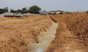
Residential development site showing utility trenches and layout markers for construction staking
construction
Surveyor

Construction Staking for New Neighborhoods on Compact Lots

Smaller lots change how a neighborhood gets built. When homes sit close together, the space between them shrinks too. Construction staking has to be more exact on these lots than on bigger ones. A stake that’s off by a few inches on a wide lot may not cause a problem.

Read More »
Burned hillside near a site requiring flood elevation survey review
flood damage
Surveyor

Flood Elevation Survey for Rebuilding Near Burn Scars

A wildfire does more than remove trees and brush. It strips away the ground cover that normally slows down rain and lets it soak into the soil. Once that cover is gone, rainfall hits bare, scorched ground and runs off much faster than before. This matters most in places like

Read More »
Elevation Certificates review for a Bonner County Idaho home after a FEMA flood map update.
elevation certificate
Surveyor

When to Order an Elevation Certificate After a Flood Map Change

FEMA updates its flood maps from time to time. When that happens, owners, buyers, lenders and insurers tend to ask the same thing. Does the new flood information mean I need a new elevation certificate? The honest answer is that it depends. A map change can shift the flood picture

Read More »