
Check Easements Before Your ALTA Land Survey
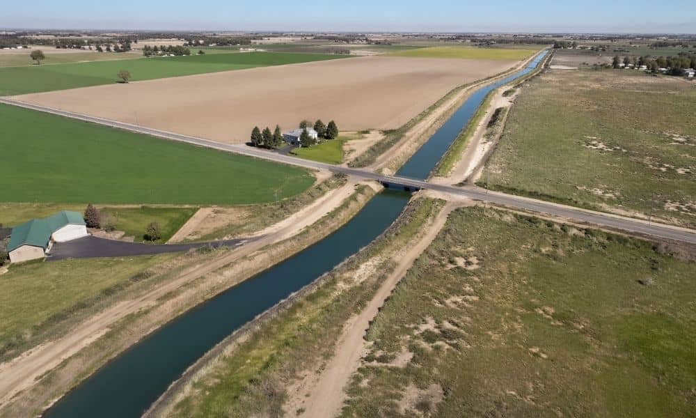
If you’re planning to buy land, you’re likely thinking about getting an ALTA land survey. That’s a smart step. It helps you see the property clearly before you commit. Still, many buyers miss one detail early on. Canal and irrigation easements. At first, the land may look wide open. It may seem ready for a […]
Do You Need One ALTA Survey for Multiple Parcels?
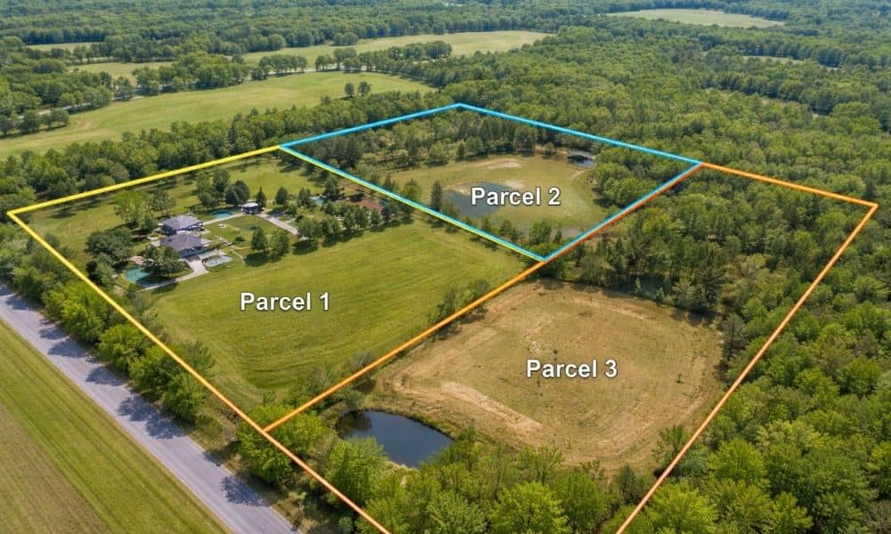
A lot of buyers think they are getting one property. The listing shows one piece of land. The seller talks about it like one site. The plan feels simple. Then the title report comes in. Now there are two parcels. Sometimes three. Each has its own number. Each has its own legal description. That’s when […]
ALTA Land Title Survey: Protect Your Property Investment
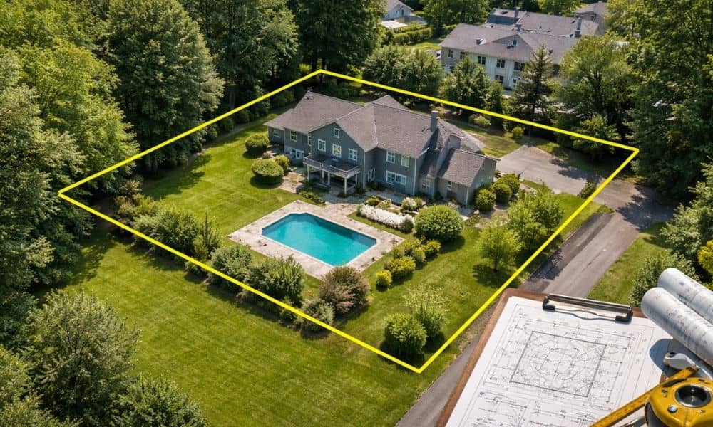
Buying or selling a home in Coeur d’Alene can be exciting. Between the lakes, outdoor activities, and charming neighborhoods, it’s easy to see why people love living here. But before a deal closes, there’s an important step that’s often overlooked: the ALTA land title survey. Getting the right property title and survey information can save […]