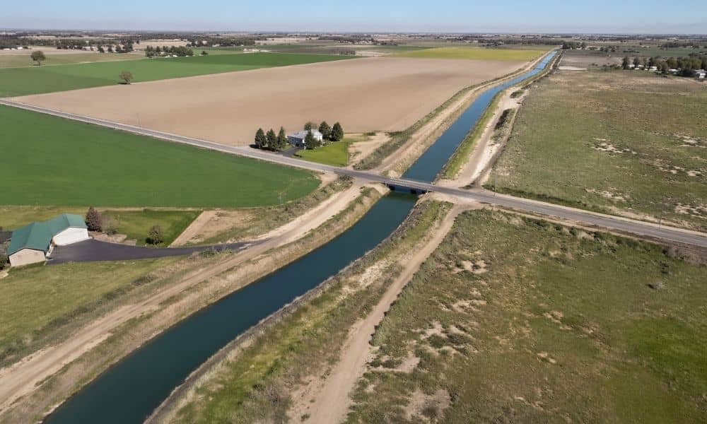
If you’re planning to buy land, you’re likely thinking about getting an ALTA land survey. That’s a smart step. It helps you see the property clearly before you commit.
Still, many buyers miss one detail early on. Canal and irrigation easements.
At first, the land may look wide open. It may seem ready for a home, a shop, or a new project. Yet parts of that same land may already be set aside for water flow or access. Because of that, your plans may not fit the way you expect.
So before you move forward, it helps to understand how these easements work in this area.
Why Canal and Irrigation Easements Are Part of Twin Falls Land
Twin Falls has deep roots in farming and water use. Because of that, canals and irrigation systems run through many parts of the region. They don’t stop at property lines either. In many cases, they cross private land.
That’s where easements come in.
An easement allows someone else to use part of the land for a specific reason. In Twin Falls, that often means moving water or giving crews access to maintain canals.
So even though you own the land, you may not control every part of it. Some sections serve a larger system that supports nearby properties.
How These Easements Change the Way You Can Use the Property
At first glance, a parcel may look fully usable. However, once you understand where water needs to flow, things start to shift.
You may find that a section of the land must stay open. In other cases, building too close to a canal may not be allowed. Even simple plans like fencing or landscaping can run into limits.
Because of this, the layout you imagine may not match what’s possible.
That’s why these easements matter. They affect real decisions, not just paperwork.
What Buyers Often Miss Before Ordering an ALTA Land Survey
Many buyers move fast once they find a property they like. They start thinking about layout, design, and future use. Then they order an ALTA land survey later in the process.
That’s when the details show up.
The survey may reveal that a canal cuts through the best building area. Or an irrigation path runs right where the driveway should go. Sometimes, part of the land must stay clear so crews can reach water systems.
At that point, plans need to change. That can lead to delays, extra costs, or even second thoughts about the property.
How an ALTA Land Survey Brings These Details Into View
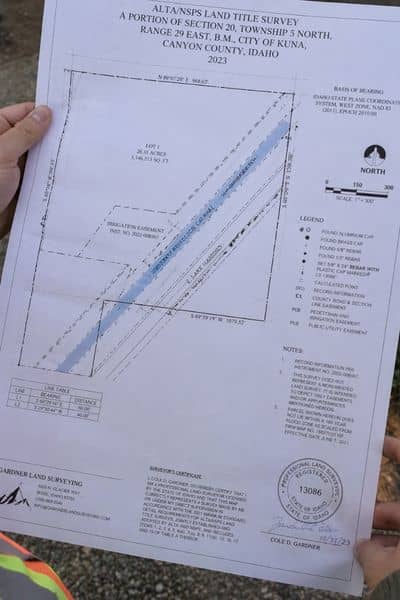
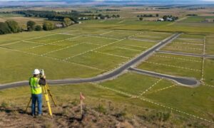
An ALTA land survey gives you a clear picture of the land. It shows boundaries, features, and recorded easements.
For canal and irrigation areas, that clarity matters.
Instead of relying on guesswork, you can see where those easements sit. You can understand how wide they are and how they interact with the rest of the property.
That makes it easier to plan. It also helps you avoid surprises after you’ve already committed.
Real Situations Buyers Run Into in Twin Falls
These issues come up more often than people expect.
A buyer may plan a building in one spot, only to find a canal easement running through it. Another may want to fence the property, yet certain areas must stay open for access.
In some cases, the land feels larger on paper than it is in practice. Once easements come into play, the usable space shrinks.
These are not rare situations. They happen because water systems are part of how land works in this region.
Why Timing Matters Before You Move Forward
Looking into these details early can make a big difference.
When you understand canal and irrigation easements before ordering an ALTA land survey, your expectations stay grounded. You can adjust your plans before they become expensive to change.
On the other hand, if you wait too long, the survey may force you to rethink everything at once.
That’s why timing matters. A little awareness early on can save you from major changes later.
How This Step Helps You Avoid Costly Changes Later
Small details often lead to big outcomes.
When you take time to understand how water systems affect the land, you make better decisions. Your layout becomes more realistic. Your plans stay on track.
You also avoid buying land that doesn’t match your goals.
In a place like Twin Falls, that kind of clarity matters more than most people expect.
Final Thoughts
Land in Twin Falls often comes with more than open space. Water systems shape how properties function, and canal and irrigation easements are part of that reality.
An ALTA land survey helps you see those details clearly. Still, the best results come when you start looking before the survey even begins.
When you understand how the land works, you move forward with confidence. And that makes every next step much easier.