When Boise’s much-anticipated State Street rebuild suddenly hit pause, most people saw it as a traffic story. But if you’re planning a purchase, loan, or development project in the Treasure Valley, it’s more than that. It’s also a land surveying story—and it may directly affect your ALTA Title Survey.
The changes on State Street show how one public project can quietly ripple into the maps, boundaries, and easements that define private property in places like Kuna, Meridian, and Nampa.
A City Pause With Valley-Wide Effects
BoiseDev recently reported that the Idaho Legislature passed new rules limiting how transportation funds can be used. Because of that, the six-block State Street rebuild between 27th Street and Veterans Memorial Parkway has been put on hold. The plan now needs a redesign before it can move forward.
At first glance, that might sound like a Boise-only problem. But transportation corridors connect the entire Treasure Valley. Every time a project like this changes, the right-of-way, utility layouts, and control points tied to it also change. Those details form the backbone of modern surveying.
If your project sits near a major road, even miles away in Kuna, those updates can influence how your land is mapped, how easements are drawn, and what lenders require for closing.
Why ALTA Title Surveys Depend on Public Projects
An ALTA Title Survey is a detailed map that blends legal records, title commitments, and field measurements. Lenders, title companies, and developers use it to confirm what’s really on the ground. It identifies property lines, utilities, access points, and any rights-of-way that might affect value or construction.
To stay accurate, an ALTA Title Survey must tie into the same control network used by local agencies. That means surveyors rely on fixed monuments—markers that reference street centerlines, corners, and elevations. When a project like State Street pauses or redesigns, those monuments can move, disappear, or get re-established.
Even a small shift matters. If a monument is adjusted by a few inches, the bearings and distances used in surveys may change too. For homeowners or developers, that could mean updating their survey before closing, redesigning site plans, or revising legal descriptions.
When a Pause Becomes a Chain Reaction
Pausing a corridor project isn’t just about roadwork. It also delays the utility relocations, stormwater redesigns, and access easement filings that come with it.
Let’s say Ada County Highway District (ACHD) changes its plan for a bus lane or sidewalk expansion. That redesign could widen a right-of-way or reroute a utility corridor. Suddenly, a property that used to have a 10-foot setback might need 12 feet. A recorded easement might be replaced by a new one.
Those adjustments find their way into county records, which surveyors later use for ALTA updates. If your survey doesn’t reflect the latest data, your lender could hold the loan or your engineer could end up working from outdated information.
It’s a good example of why survey work never really stops—it evolves as the public data changes.
How Surveyors Stay on Top of Shifting Data
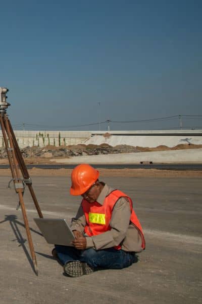
Professional surveyors don’t just measure land; they monitor local infrastructure too. Before heading to a site, they often check:
- ACHD’s Engage Portal and Capital Improvement Plan – These show which road segments are being designed or delayed.
- Ada County Parcel Viewer – This tool reveals recent Records of Survey that might affect nearby properties.
- City of Boise and Kuna planning updates – These include new plat filings, drainage easements, or land-use changes.
By tracking this information, surveyors can adjust their control points, confirm whether ROW data has changed, and flag potential issues before they show up in your title documents.
That’s why hiring a licensed Idaho land surveyor matters. Local professionals understand how quickly the Treasure Valley’s landscape—and its records—can shift.
What Buyers and Developers Should Do Now
Even if your property isn’t along State Street, it could still connect to data or infrastructure that is. Survey control networks stretch across city lines, linking Boise’s benchmarks with those in Meridian, Kuna, and Star.
If you’re in the middle of buying, refinancing, or developing property, take a few practical steps:
- Check your timing. If your ALTA Title Survey is more than six months old, ask your surveyor whether recent ROW or utility changes might affect it.
- Ask about new Records of Survey. These can reveal updated monuments or easements near your parcel.
- Coordinate early with your lender or title company. They’ll want confirmation that your ALTA reflects the latest legal and physical data.
- Stay flexible. If ACHD or the City of Boise revises designs again, your surveyor can update the deliverable quickly—saving you from delays later.
Keeping your documents current doesn’t just satisfy lenders; it protects your investment.
When an Old ALTA Becomes Outdated
Unlike a standard boundary map, an ALTA Title Survey connects to dozens of moving parts—title commitments, public right-of-way plats, zoning reports, and more. Because of that, it can “expire” faster than you think.
Your survey might need an update when:
- A nearby public project changes design or funding.
- A new utility easement is recorded by the county.
- Flood control or stormwater plans shift after heavy weather.
- Your lender requests additional Table A items before closing.
Think of your ALTA survey like a living document. As public infrastructure evolves, the data behind your map evolves too.
Why Local Knowledge Makes All the Difference
Kuna is one of Idaho’s fastest-growing cities, and its growth relies on the same transportation and utility networks that begin in Boise. A pause on State Street may seem far away, but it influences how engineers, surveyors, and planners manage expansion across the valley.
Working with a surveyor who understands this connection is key. They’ll know which control points tie into Boise’s grid, which ones are being replaced, and how those updates flow into ALTA mapping. That knowledge keeps your project aligned with regional data—and keeps you off the list of people facing last-minute survey revisions.
Public Projects Can Redraw Private Boundaries
A single change in legislation can slow a major street project, but it can also shift the details that shape private land records. When right-of-way lines, easements, or utilities change, so does the information inside your ALTA Title Survey.
Before your next purchase, refinance, or site plan submission, take a moment to confirm that your survey is based on the latest control data. If not, ask your licensed land surveyor for an update. It’s a small step that can save weeks of delay and thousands in redesign costs.
Public projects may move at the speed of government, but your property plans don’t have to. Staying proactive keeps your paperwork clean, your lenders confident, and your project on schedule—no matter what happens on State Street.
