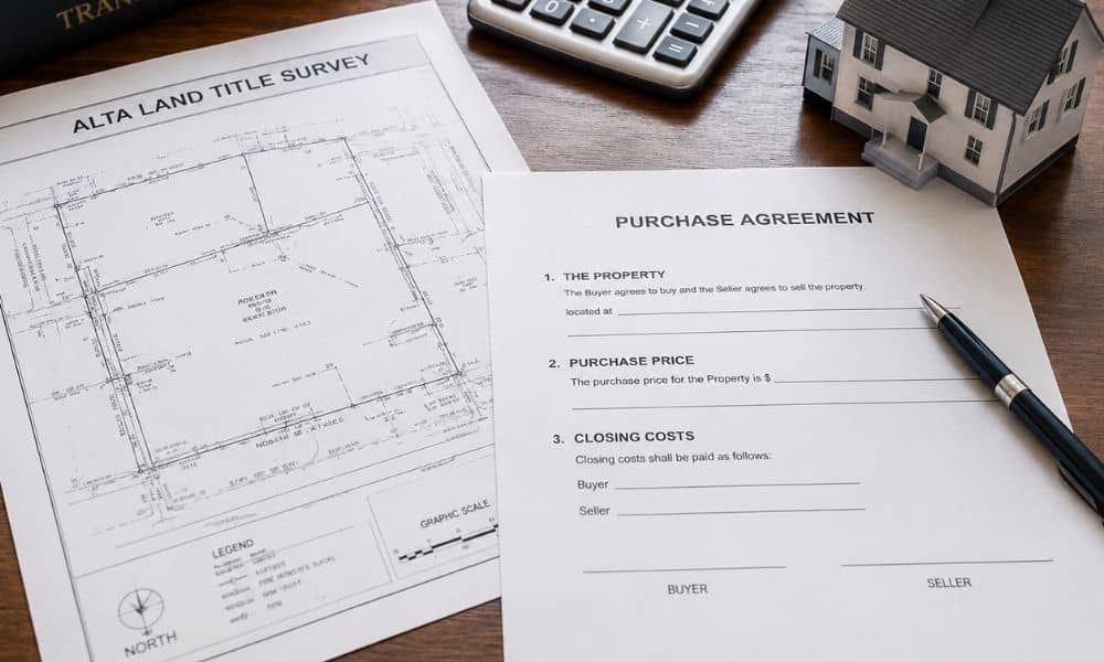
In most real estate deals, the buyer pays for the ALTA Land Title Survey. But this cost is negotiable. Lenders often require it for commercial loans. In Eagle, Idaho, buyers can expect to pay between $1,500 and $4,500 depending on the size and type of property.
If you are buying property, you may have heard the term ALTA Land Title Survey come up during the deal. One of the first questions people ask is simple: who actually pays for it? The answer depends on the type of transaction, what the lender requires, and what both parties agree to in the contract.
Who Usually Pays for the ALTA Survey?
The buyer pays for the ALTA Land Title Survey in most real estate transactions. This is true for both residential and commercial deals. The cost is treated as part of the buyer’s due diligence expenses. However, both parties can negotiate who covers it before the contract is signed.
In the majority of property sales, the buyer takes on this cost. This makes sense because the survey is done to protect the buyer. It checks the boundaries, flags any access issues, and confirms what the land records say. The buyer benefits most from having this information before closing.
That said, there is no law that forces the buyer to pay. It is a negotiable item, just like closing costs, inspection fees, or repair credits. Who pays comes down to what both sides agree to in the purchase contract.
When Does the Seller Pay?
A seller may agree to pay for the ALTA Land Title Survey to make a deal more attractive. This is more common in commercial sales or when a property has been on the market for a long time. It can also come up when a seller wants to speed up closing.
Sellers sometimes offer to cover the survey cost as a concession. This means they are giving the buyer something to help close the deal faster. In Eagle, Idaho, where commercial and residential land activity has grown steadily, sellers on larger parcels sometimes use this as a negotiating tool.
A seller might also pay if they had a pre-listing survey done. In that case, the buyer may be able to use the existing survey, which lowers the cost or removes it entirely.
When Does the Lender Require It?

Lenders require an ALTA Land Title Survey for most commercial loans, SBA loans, and construction loans. It is not usually required for standard home loans. When a lender mandates the survey, the cost still falls on the borrower. The lender sets the standard but does not pay for it.
For commercial buyers using a bank loan, the lender will often make the ALTA survey a condition of approval. This means you cannot close without it.
The U.S. Small Business Administration also requires an ALTA survey for real property used as collateral on SBA 7(a) and 504 loans over $500,000. This is outlined in SBA Standard Operating Procedure 50 10 7. If you are using an SBA loan to buy a property budget for this cost from the start.
Most residential lenders do not require an ALTA survey. A standard plat map or boundary survey is usually enough. But if the property is rural, large, or has complicated access issues, the lender may ask for one anyway.
How Do You Negotiate the Cost?
Survey costs can be negotiated in the purchase agreement before either party signs. You can ask the seller to pay, request a closing credit, or split the cost. Getting this in writing early avoids confusion later. Buyers should bring it up during the initial offer stage, not at the closing table.
Here are a few ways to handle the negotiation:
- Ask the seller to include a closing credit that covers the survey fee
- Request that the seller share any existing survey documents to reduce the surveyor’s work
- Agree in writing on who pays before the due diligence period begins
- Check with your lender early to find out if they have preferred survey firms, which may come with lower rates
Waiting until the last minute to figure out who pays can slow down your closing. Handle it in the contract language from the beginning.
What to Expect in Eagle, Idaho
Eagle is one of the fastest-growing cities in Idaho. Ada County, where Eagle is located, grew by more than 20 percent between 2020 and 2024 according to U.S. Census Bureau estimates. That growth has increased demand for surveys as more land is developed and subdivided along corridors like State Highway 44.
Survey firms in the area have seen higher order volumes, which sometimes affects turnaround times. Most ALTA surveys take two to four weeks from the time the order is placed. If you need it faster, some firms offer rush service, though this usually costs more.
In Idaho, only a licensed Professional Land Surveyor (PLS) certified by the Idaho Board of Licensure of Professional Engineers and Professional Land Surveyors can sign off on an ALTA survey. Always confirm your surveyor holds a current license before placing an order.
Frequently Asked Questions
Can the survey cost be rolled into the loan?
In some commercial loan structures, closing costs including survey fees may be financed. Ask your lender directly, as this varies by loan type and lender policy.
Who orders the ALTA survey?
The buyer or their lender typically places the order. Some title companies coordinate it as part of the closing process.
What if the survey finds a problem?
If the survey reveals a boundary issue or an unexpected easement, the buyer may renegotiate the price, ask the seller to fix the problem, or exit the deal if the contract includes a due diligence contingency.
Do residential buyers need one?
Not always. But if the property is on acreage, near a shared road, or has any unclear boundary history, getting one is a smart move even when the lender does not require it.