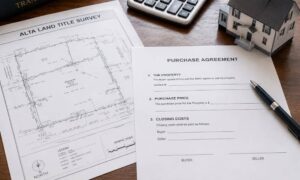
If you plan to buy or develop property in the next year, you will likely need an ALTA Land Title Survey. It’s the survey lenders trust most because it ties the legal record to what’s actually on the ground. But starting February 23, 2026, the way these surveys are done will change. ALTA and the National Society of Professional Surveyors have updated their national standards, and these rules will shape every new ALTA survey moving forward. Whether you’re a buyer, a lender, or a developer, these changes matter because they can affect your timing, your budget, and even your closing date.
A Quick Look at What an ALTA Survey Does
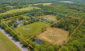
An ALTA survey shows the full picture of a property. It maps the boundaries, improvements, access points, and any legal details tied to the land. Lenders and title companies use it to confirm that everything in the legal description matches what exists on the site. Because of that, ALTA surveys follow strict national standards. When those standards change, the level of detail and the survey process change with them.
So, What’s New for 2026?
The 2026 standards aren’t a small update. They change how surveyors record, measure, and report information. These updates aim to fix confusing sections from the older rules and bring the process closer to modern practices. While the changes may sound technical, the impact is simple: the survey you order next year will look a little different from the one you might have received in 2021.
Let’s break it down in a clear, easy way.
Clearer Legal Descriptions
One of the biggest updates focuses on legal descriptions. These describe the exact shape and size of your property. In the past, some descriptions did not match what surveyors found in the field. The new standards push surveyors to match these records more closely with modern measurements. Because of this, your next survey should be easier to read and compare with your title documents.
If you’re working with an older parcel or a lot that has changed hands many times, this update will help clear up confusion. For buyers and lenders, that means fewer questions during closing.
More Accurate Measurements
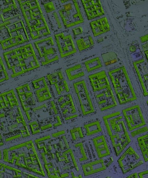
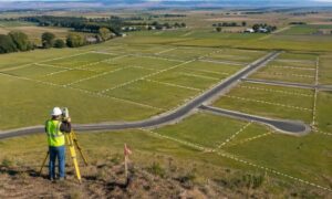
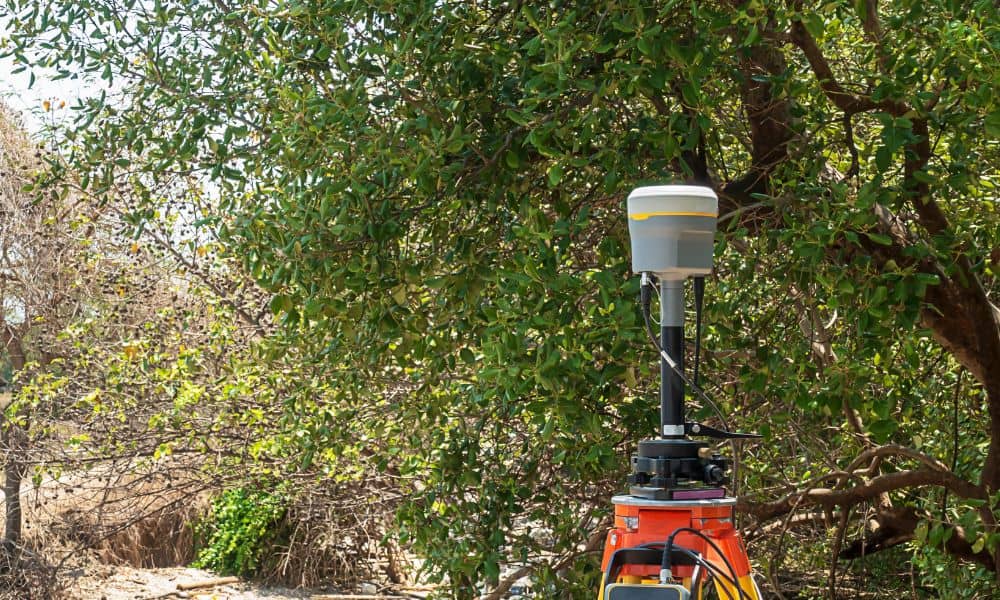
Technology plays a bigger role in the new standards. Surveyors now use tools like GNSS, laser scanners, and updated GPS methods. The 2026 standards expect surveyors to apply these tools in more consistent ways. So your new ALTA survey will rely on better measurement methods and updated accuracy levels.
This is important if your site ties into future building plans. When measurements are stronger from the start, the rest of your project moves forward with fewer corrections.
Stronger Reporting Requirements
Another change centers on how surveyors present their findings. The 2026 rules ask for clearer notes and better-defined terms. That means fewer vague descriptions and more precise reporting. You won’t need to guess what a notation means or call your surveyor for basic clarifications. Instead, your report will spell out details in a format lenders and attorneys can understand right away.
This helps your closing because cleaner reporting means less back-and-forth between your lender, your title officer, and your surveyor.
Why This Matters for Buyers and Developers
These changes might seem like they only affect surveyors, but they actually shape your entire land deal. Because lenders rely so heavily on ALTA surveys, anything that changes the survey process can shift your timeline. And since every closing depends on accurate land information, most buyers want certified surveying for real estate closings so they know their paperwork lines up with what lenders expect.
For example, many older ALTA surveys will no longer meet the new standards. If you plan to use an older survey for a refinance or a new purchase, your lender may reject it. That could delay your closing and force you to order a new survey anyway.
Also, since the updated standards require more detailed reporting, surveyors may spend more time verifying measurements or reviewing title documents. When demand rises in early 2026, schedules will likely fill quickly. It’s better to order early and avoid the rush.
What to Expect
Idaho’s mix of rural parcels, older subdivisions, and fast-growing areas means that many local properties will benefit from the new standards. In places like Pocatello, where some parcels have older descriptions or unclear records, these updates will bring much-needed consistency.
You can expect surveyors to ask more questions upfront. They may request updated title commitments or ask for documents you didn’t expect. This isn’t a problem—it’s part of the new process. It helps them confirm that the final survey lines up with the 2026 standards so your lender has everything they need.
What You Should Do Before Ordering
Since the new standards take effect soon, it helps to plan now. Before ordering your ALTA survey, talk with your lender and title company. Ask if they want the survey certified under the 2026 rules. Many lenders already expect it, even before the deadline.
Next, ask your surveyor if they are following the new requirements. Most professional surveyors are already preparing for the update, but it’s still smart to confirm. When everyone is on the same page from the start, you avoid delays later.
You should also share any documents you have, including deeds, plats, or older surveys. These help the surveyor compare past records with new requirements. When those pieces match, your survey moves forward faster.
Why the New Standards Help You Long-Term
While change can feel like a hassle, these updates bring strong benefits. Better accuracy, clearer notes, stronger definitions, and modern measurement methods all mean your ALTA survey will create a more solid foundation for your property plans. When your land records are clean and consistent, your construction, planning, and financing steps become easier.
Even title officers and engineers benefit. With less confusion in each section of the ALTA survey, the approval and design process becomes smoother. You spend less time clearing up questions and more time moving your project forward.
Final Thoughts
The 2026 ALTA standards will change how every ALTA Land Title Survey is prepared. They raise the bar on accuracy and clarity, and they reshape the process for surveyors, lenders, and property owners. While the changes may add more steps, they also give buyers and developers a clearer, stronger picture of their land.
If you plan to close on a property in 2026, start early. Talk with your surveyor, connect with your lender, and gather your documents. With the new standards coming soon, being prepared is the best way to keep your closing on track.
Your land plans deserve a clean start. The new standards help make that possible.