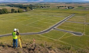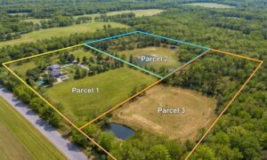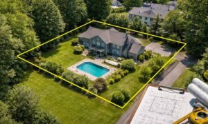
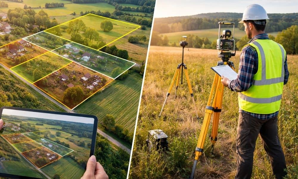
Scroll through social media for a few minutes and you’ll see it. Colorful maps. Sharp boundary lines. Confident captions claiming who owns what land. These posts spread fast because they look official. They feel clear. And for many people, that feels like proof. However, that confidence is often misplaced. As land mapping images go viral, confusion grows right along with them. People start to believe that if a map looks clean and precise, it must be correct. That belief is now colliding with real property decisions. Because of that, ALTA surveys are becoming more critical than ever.
This shift is not about fear. It’s about trust.
When viral maps start to feel like facts
Online maps used to live in the background. They helped with directions or basic planning. Today, they are front and center. Anyone can screenshot a parcel map, draw lines on an aerial image, or layer data over satellite photos. Then they share it with a bold claim.
At first glance, these visuals feel convincing. They use grids, labels, and sharp colors. They look professional. Because of that, people assume the information is solid.
But here’s the problem. Most of these maps were never meant to define property rights. They were built for reference, not decisions. Even so, once a map goes viral, it shapes opinions fast. People stop asking questions. They start assuming the map tells the full story.
That’s where trouble begins.
Seeing a map is not the same as knowing the land
A map can show shapes and lines. It cannot explain context. It also cannot confirm accuracy on its own.
This gap is easy to miss online. After all, everything looks finished on a screen. Boundaries appear exact. Labels feel final. Yet once money, contracts, or long-term plans enter the picture, assumptions break down.
That moment surprises many buyers. They say things like, “But the map showed it clearly,” or “That’s not what we saw online.” These reactions are common now. They come from trusting visuals without verification.
As a result, people are learning a hard lesson. Online clarity does not equal real certainty.
Why confusion spreads faster than corrections
Viral content moves quickly because it simplifies complex topics. Land ownership is complex. So, a simple map feels like relief. It cuts through uncertainty, or at least it seems to.
Meanwhile, real answers take time. They involve records, measurements, and professional review. Those steps are not flashy. They don’t fit into a short post or image.
Because of that, misinformation spreads faster than corrections. Once a map shapes a story, undoing that belief is hard. Even when doubts appear, people still cling to what they first saw.
This pattern explains why trust in maps is weakening. People want certainty, yet they keep encountering contradictions.
The role ALTA surveys play in restoring trust
This is where ALTA surveys matter.
An ALTA survey does not try to impress. It does not aim to go viral. Instead, it focuses on verification. It connects recorded information with what exists on the ground. Every detail must line up.
That process takes effort. It also takes accountability. A licensed professional stands behind the work. That matters because real property decisions depend on more than visuals.
In simple terms, ALTA surveys exist to answer one question clearly: Does what we believe about this land match reality?
In a world full of maps, that question carries weight.
Why professionals rely on standards, not screenshots
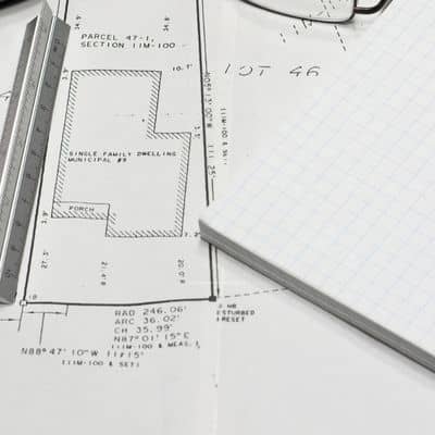
People often ask why professionals don’t rely on online maps. The answer is simple. Screenshots have no responsibility attached to them. Standards do.
ALTA surveys follow established rules. These rules ensure consistency, clarity, and reliability. Because of that, different parties can review the same survey and reach the same understanding.
That shared trust is important. Without it, every decision turns into a debate. Instead of arguing over interpretations, people can focus on planning.
As viral maps multiply, this shared foundation becomes more valuable. It cuts through noise and brings everyone back to facts.
How viral assumptions affect real decisions
Most people don’t realize how late confusion shows up. Everything seems fine early on. The map looks right. The plan feels solid.
Then questions appear. Someone asks for confirmation. Another person wants proof. Suddenly, what felt obvious needs support.
This moment causes stress. It also causes delays. The issue was not hidden before. It was simply assumed away.
That pattern repeats across many situations. The trigger is almost always the same. Someone relied on a visual without understanding its limits.
ALTA surveys help prevent that moment. They bring clarity forward instead of leaving it for the last step.
Why trust now matters more than speed
Speed gets attention online. Fast answers feel powerful. Yet in property decisions, speed without certainty creates risk.
People are starting to notice this. As viral mapping stories circulate, skepticism grows. Buyers and planners want fewer surprises. They want fewer corrections later.
Because of that, trust has become the real priority. People would rather slow down early than fix problems later.
ALTA surveys support this mindset. They favor accuracy over assumptions. They replace guesswork with confirmation.
In today’s environment, that approach feels refreshing.
What this shift means for everyday buyers
You don’t need to be an expert to feel this change. Many buyers now hesitate when they see bold claims attached to maps. They ask more questions. They want clarity before committing.
This shift does not mean online maps have no value. They still help with context. They still guide early thinking.
However, when decisions become serious, visuals alone fall short. That’s when ALTA surveys step in.
They offer something viral content cannot. They offer confidence backed by responsibility.
In a viral world, verified still wins
Maps will keep spreading online. New tools will make them even easier to create. That trend won’t slow down.
What will change is how people respond. Trust will move away from visuals alone. It will return to verification.
That’s why ALTA surveys matter more now than they did before. They don’t compete with viral maps. They correct them.
In the end, property decisions deserve more than a screenshot. They deserve clarity that holds up over time. And in a world full of noise, verified information still wins.