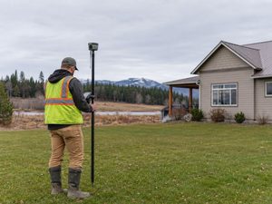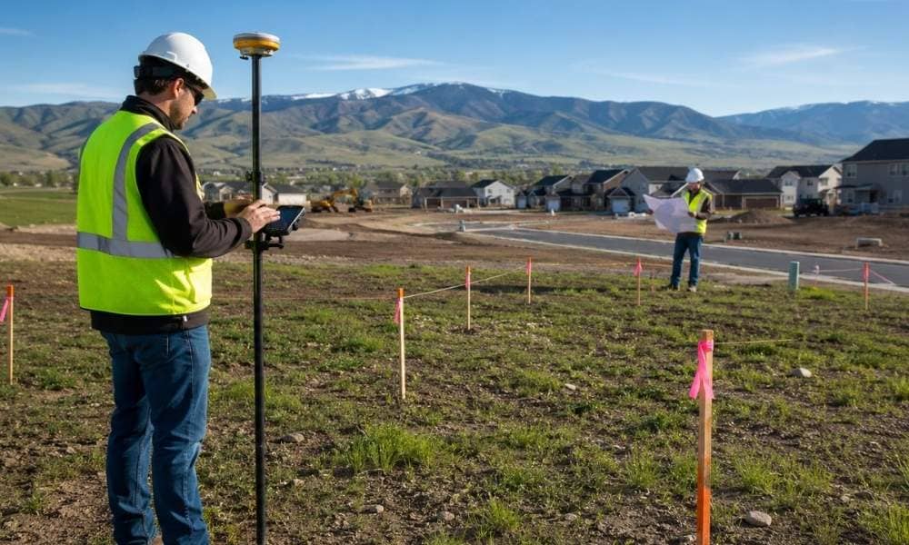
Idaho’s housing reforms are opening the door to smaller residential lots in more communities across the state. That means more subdivision opportunities for developers and builders. But it also means less room for error. When every foot of land counts, starting with a boundary survey is not just a good idea. It is the step that keeps the entire project on track. A survey should guide the design from the beginning, not verify it after problems have already appeared.
Smaller Lots Leave Less Room for Design Errors
On a large parcel, a small boundary uncertainty might not affect the design much. On a compact lot, that same uncertainty can throw off the entire layout.
When lot sizes shrink, building envelopes get tighter. Setbacks, utility easements, and access requirements all take up a fixed amount of space regardless of how small the lot is. If the boundary lines are off by even a few feet, the buildable area changes. That affects where structures can go, how driveways are positioned, and whether the lot meets local dimensional requirements at all.
A boundary survey establishes reliable property lines before engineers and designers begin their work. That gives the design team a solid foundation to build from. Without it, the design is based on assumptions. And on a small lot, an assumption that turns out to be wrong can require a complete redesign.
Starting with confirmed boundary data is not just about accuracy. It is about avoiding the cost and delay that come with fixing errors that could have been prevented at the start.
Existing Improvements Can Influence the Entire Subdivision Layout
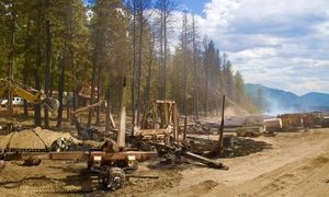
Most parcels being divided have something on them already. A fence. A utility pole. An old driveway. A drainage ditch. A retaining wall from a previous owner.
These existing features matter more than many developers expect. They can affect how lots are configured, where access points go, and how utilities are routed through the subdivision. If a fence sits a few feet off the true property line, or a drainage feature crosses where a lot line is planned, the layout may need to change.
Finding these conditions early is far better than finding them mid-design. A boundary survey identifies what is already on the ground and how it relates to the legal boundaries of the parcel. That information helps surveyors, engineers, and planners work together from the start instead of reacting to surprises later.
Coordination between these three groups is key on small-lot subdivisions. The survey feeds the engineering. The engineering feeds the planning. When the survey comes first, everything downstream runs more smoothly.
Survey Data Helps Create Lots That Meet Local Development Standards
Every jurisdiction has rules about lot dimensions, frontage requirements, setbacks, and open-space ratios. These rules do not bend based on what a developer hoped the lot sizes would be.
Accurate boundary information gives design professionals the data they need to check proposed lots against local standards before submitting plans. They can confirm that each lot meets minimum frontage requirements, that setbacks can be satisfied within the buildable envelope, and that open-space or utility corridor requirements do not reduce usable area below what the design assumes.
When that review happens early, adjustments are minor. A lot line shifts slightly. A shared access point is repositioned. These are small changes when made on paper during design. They become much larger problems when discovered during plan review or after permits have been submitted.
Survey data does not replace the local approval process. But it gives the design team confidence that the proposed subdivision has a realistic chance of meeting standards without repeated back-and-forth with reviewing agencies.
Early Boundary Surveys Can Reduce Costly Plan Revisions
Redesigns are expensive. They cost engineering hours, delay permit submissions, and push contractor timelines back. In some cases, they require restarting portions of the approval process entirely.
Most redesigns on small-lot subdivisions trace back to one root cause. The design was built on boundary assumptions that turned out to be inaccurate. When the survey came in late or was skipped at the start, the design team worked with incomplete information. The further into the project that incomplete information went, the more expensive the correction became.
Investing in a boundary survey at the beginning of a subdivision project is a direct way to reduce that risk. The survey cost is a small fraction of the total project budget. The cost of a mid-design revision, a permit delay, or a contractor schedule change is not.
This is not about spending more money upfront. It is about spending it in the right place so you do not spend far more of it later fixing problems that were avoidable.
Idaho’s Smaller-Lot Growth Makes Early Survey Planning Even More Valuable
Idaho communities are growing. Cities and counties across the state are seeing increased residential development as populations rise and housing demand stays strong. As more available land gets divided into smaller parcels, the pressure to get subdivision design right the first time increases.
In this environment, accurate boundary information is not a luxury. It is a practical necessity. Smaller lots mean tighter tolerances. Tighter tolerances mean less room for the kind of errors that come from working without confirmed boundary data.
Developers and property owners who treat the boundary survey as one of the first project steps put themselves in a stronger position throughout the entire process. The design is grounded in real data. The engineering team has what it needs. The planning review goes more smoothly because the proposed lots were designed with accurate information from the start.
Those who treat the survey as something to order after the design is mostly done often find themselves going back to fix things that could have been right the first time.
In Idaho’s current development climate, that difference matters more than ever.